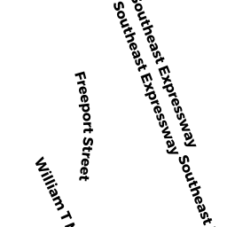
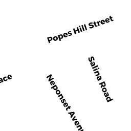
818 WM T MORRISSEY BL
Owner Information
STRAZZULA MATTHEW J TRSTS
818 WM T MORRISEY
DORCHESTER, MA 02122


Property Details
818 WM T MORRISSEY BL is classified as a IMPUTED - Industrial (Food process plant).
The primary structure on this property was built in 1960. There are 5,127ft2 of built area within this property. There is 3,536ft2 of residential/living space within this property.
818 WM T MORRISSEY BL is valued at $571,400. The land is valued at $303,300 and the structures are valued at $229,100. There is an additional valuation of $39,000 on this property.
818 WM T MORRISSEY BL was last sold on Thursday, January 1, 1987 for $0.
Assessment data from fiscal year 2020.
Flood Data
This property is completely within the AE Zone (within floodplain).
The base flood elevation for this flood zone is 10 feet.
This information is sourced from the FEMA National Flood Hazard Layer. See our full disclamer.
Broadband Internet Providers
| Provider | Type | Bandwidth (mbps) | |
|---|---|---|---|
| Viasat Inc | Satellite | 100 | 3 |
| Verizon New England Inc. | DSL | 7 | 0 |
| Verizon New England Inc. | Fiber | 940 | 880 |
| Comcast | Cable | 1000 | 35 |
| GCI Communication Corp. | Satellite | 0 | 0 |
| HughesNet | Satellite | 25 | 3 |
| VSAT Systems, LLC. | Satellite | 2 | 1 |
Broadband service provider data from December 2020.